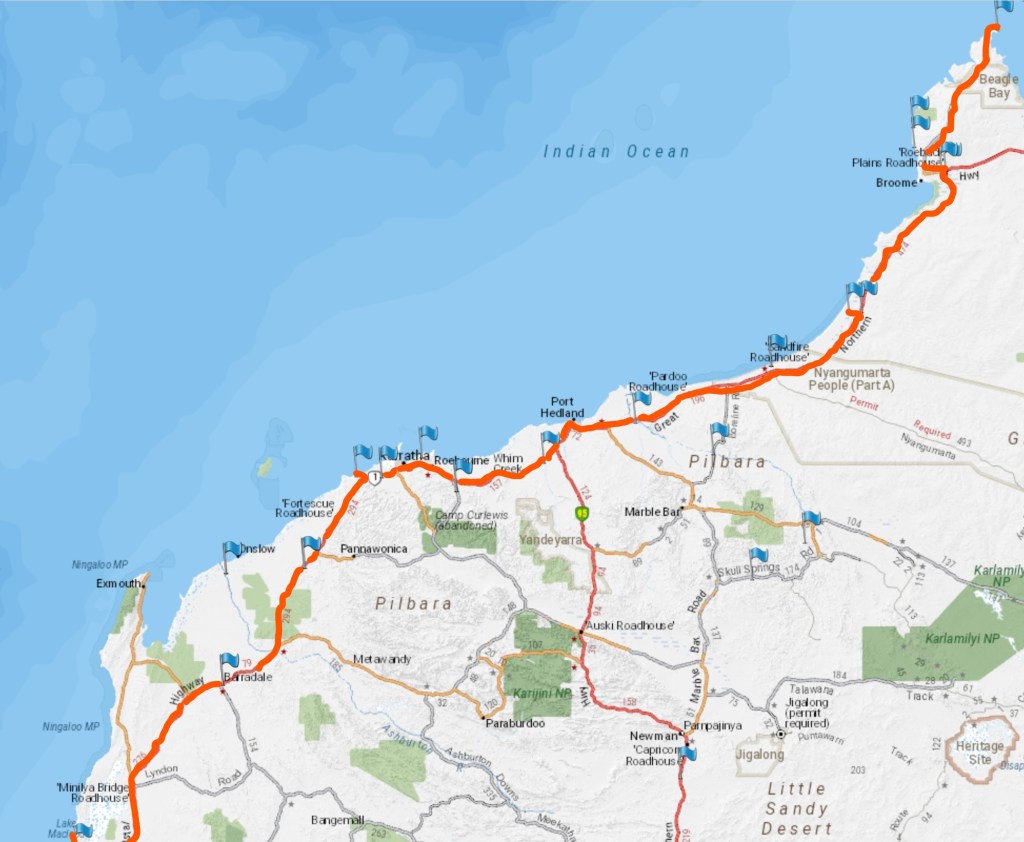
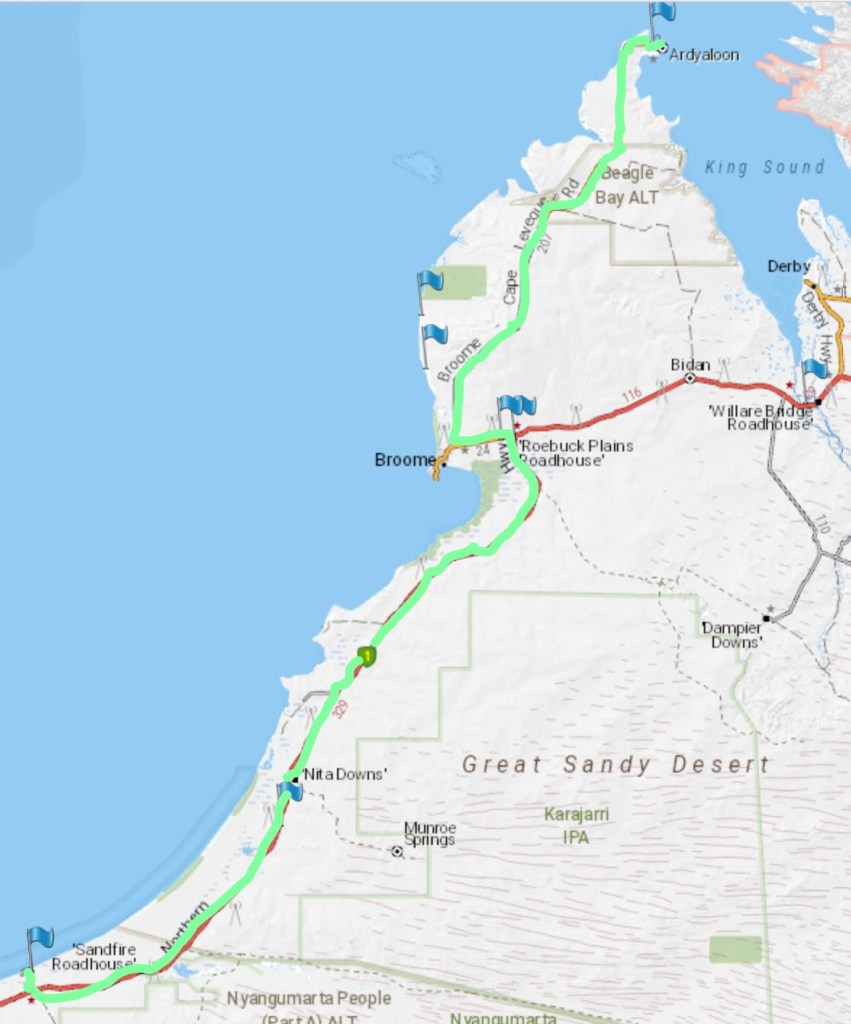
This is the route from Eighty Mile Beach to the top of the Dampier Peninsula – Cape Leveque. The flags show our camp sites. This is also the route back – it’s the only route back! We’re are back at the Gateway CP for a bit of washing and and a little shopping in Broome.
Wednesday 9th September
Today we left the Gateway and headed south, I guess technically we’re on our way home now, although it will probably be another month before we get back. We’re heading 200ks today down the highway and then turning off to go to Anna Plains station, which has some interesting history and maybe some fish!
The station we’re making for, called Anna Plains, is a working cattle station of around 1 million acres about 200 ks south of Broome. It is also interesting because a small military base was built by the British here in 1959 to monitor the track of the Blue Streak rockets being tested and launched from Woomera in South Australia. Also associated with these rocket tests were all the remote roads built by our hero Len Beadell.
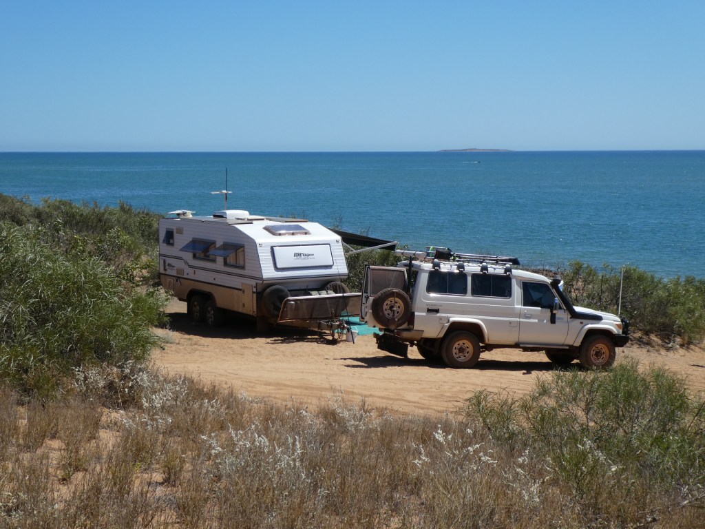
The campsite at Anna Plains is not advertised and does not appear in any camping recommendation sources but Pat was reading a comment by someone who had stayed there. So on the off chance we rang and asked if we could stay there and they said yes, so we booked for five nights, to see us over the weekend.
The campground is near the homestead and is part of a working cattle station but there are only 12 sites and they are well spaced. There is a gentle lowing of the cattle in the background as some of the cattle had been mustered and were contained in large paddocks not far from us awaiting transport to the local port. Part of the live cattle trade.
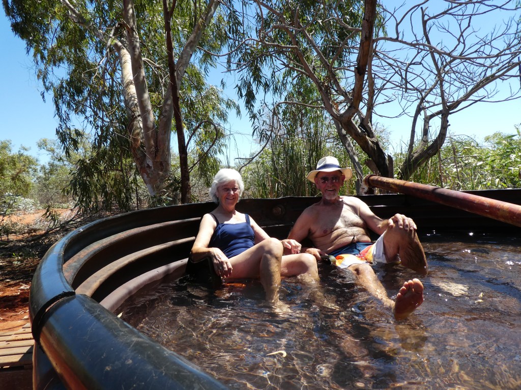
One of the features of the site is what is called the hot spa! The water is indeed hot (warm really) but the spa itself is an old neoprene cattle trough. We gave it a try and it was bit of fun. Trying out the plastic chairs with sawn of legs. Unfortunately, the water comes from a shallow aquifer which is already producing iron rich water, so everything is red!
In 1959 a small scientific community was built here to monitor the track of the missiles being test launched from Woomera in South Australia. Only the concrete bases are left now after everything was demolished in the late 60s.
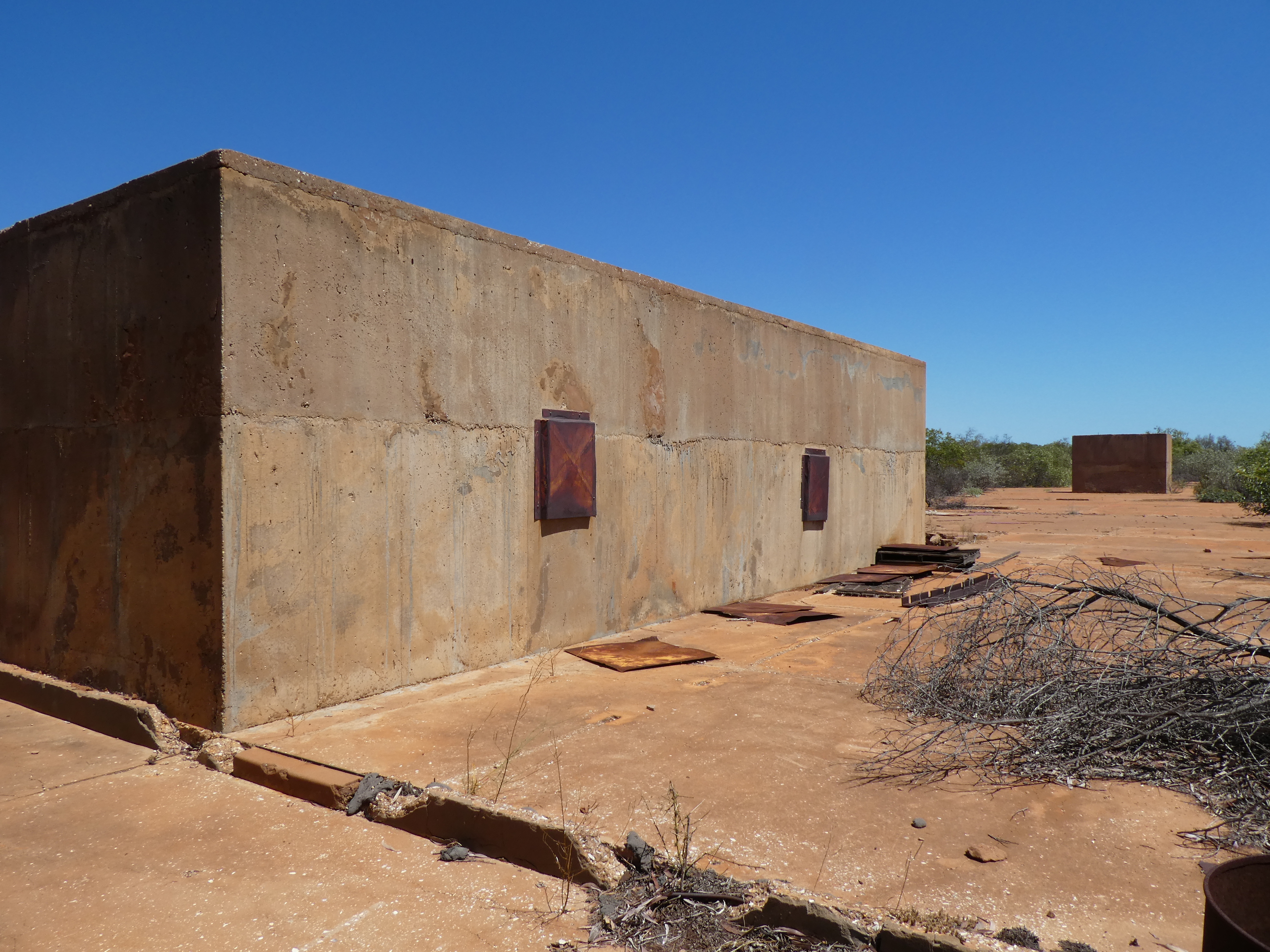
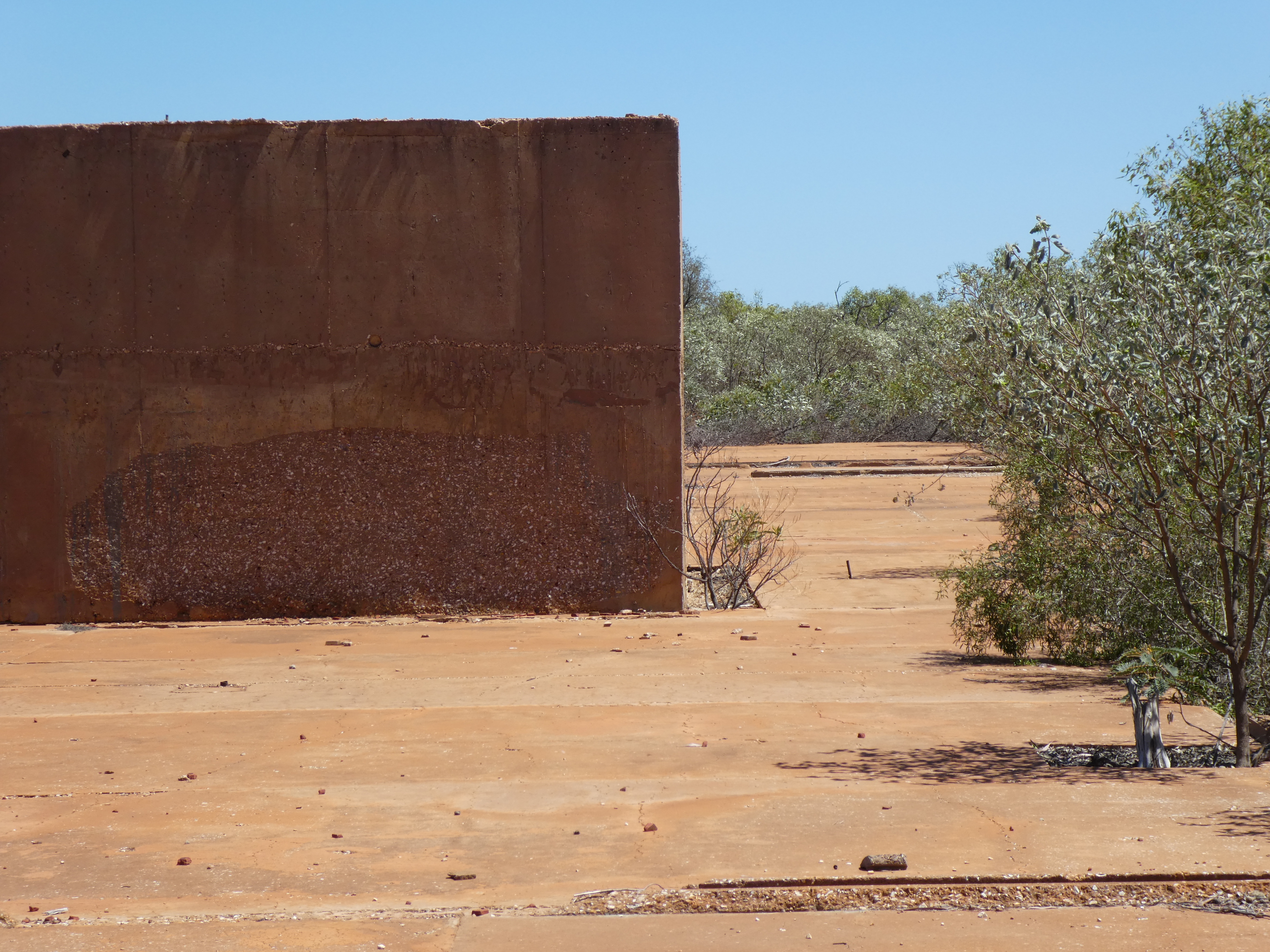
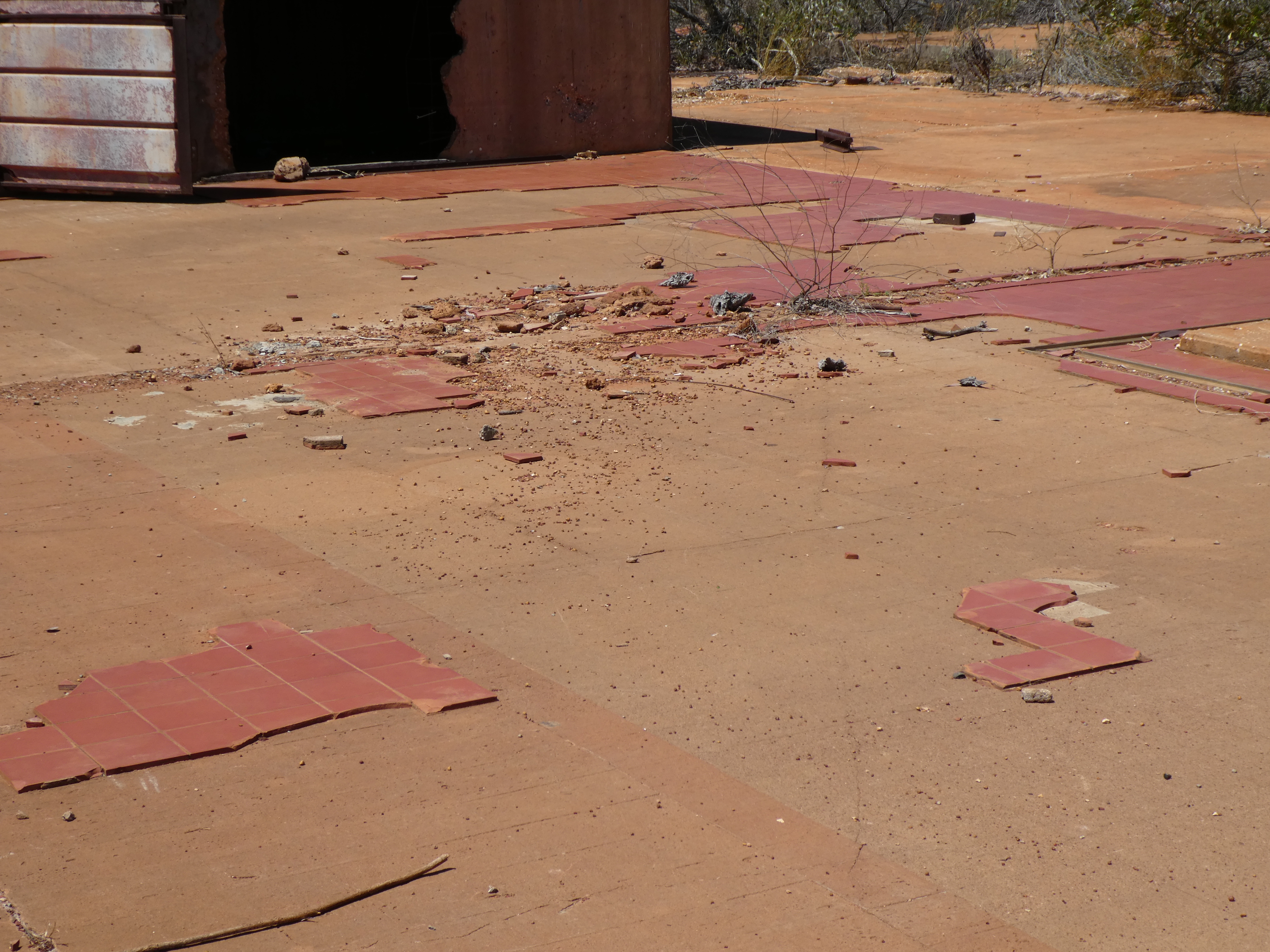
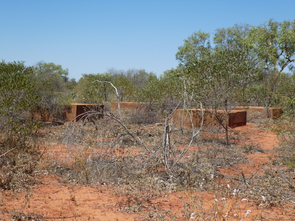
Also situated here was a test rocket ( Blue Streak) launcher as can be seen by the concrete mounting blocks.
I have done a bit of fishing with little success, I don’t have a beach rod with me so casting out behind the surf is not possible. Also it is only a light rig and yesterday I lost two sets of gear when bigger fish were able to break my line. So only catfish so far!
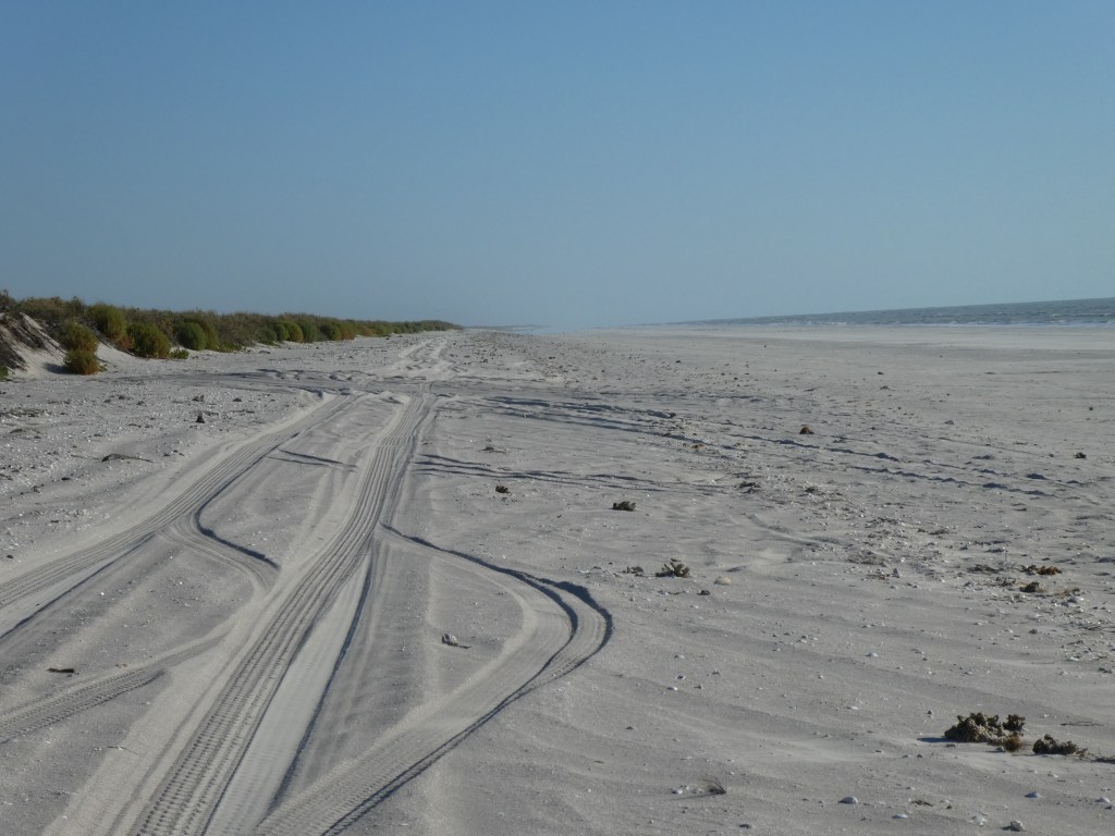
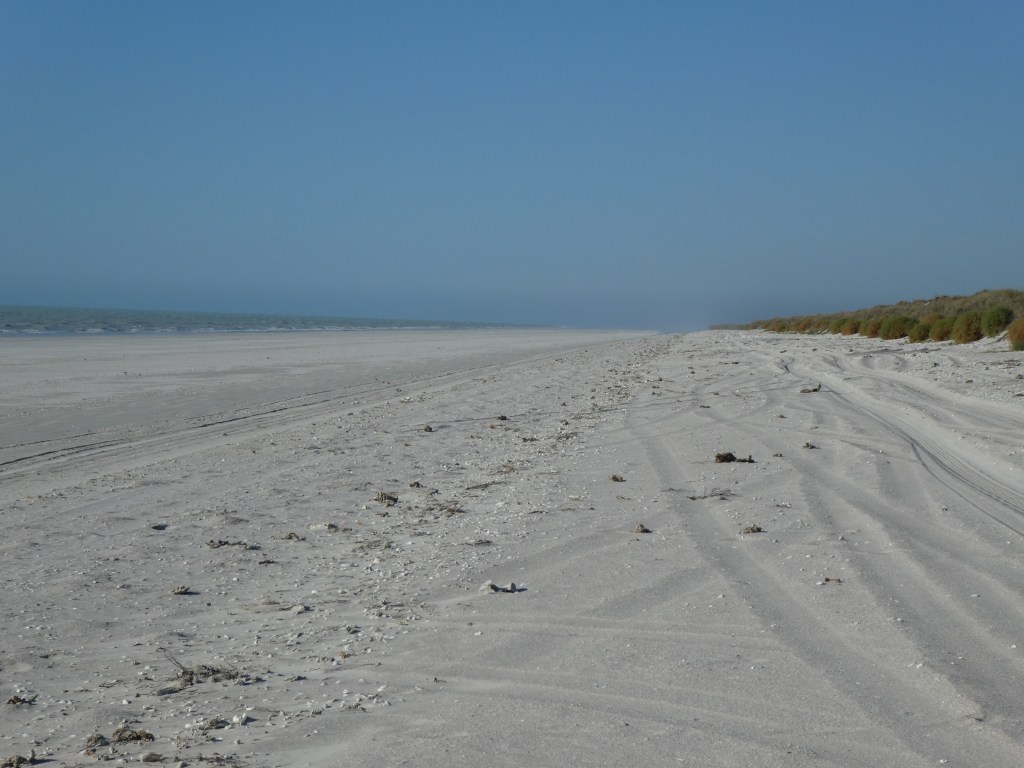
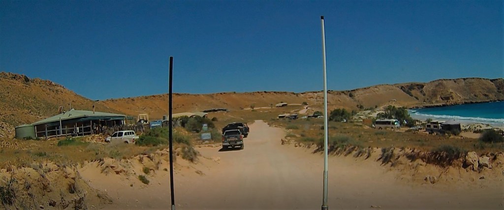
The beach is beautiful and represents virtually the northern extent of Eighty Mile Beach, this part of it can only be accessed through Anna Plains station so it’s not going to be crowded! It is also part of the Eighty Mile Beach Marine Park, so we allowed 2ks to the south (left) and 22ks to the right (north). The sand is very fine, like talcum powder which makes the water look very dirty, unfortunately, this means that it is suitable for crocs so we don’t venture far, in addition, sharks have been spotted fairly close in recently! There are shells everywhere and areas of crushed shells which are very sharp. Being a Marine Park means no shells may be removed from the area which is a shame as there are some beautiful specimens.
We’ve had five nights here and have thoroughly enjoyed it, it is on our list of places to return to at some stage. Having said that as we’re driving southish we note that there are other places along this coast that are also on our list, Barn Hill, Port smith, Cape Keraudron………………………………..!
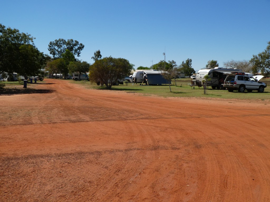
So, now it is Monday 14th September and we are making our way down the coast, without too much of a plan, which is just as well since we had thought that we would overnight at the De Grey rest area tonight and then go on to Dampier tomorrow for two nights, so we could shop in Karratha. However, we were reading about the Dampier campsite and it didn’t seem that attractive so we decided to push on to Yule R, where we arrived at 1430 after a longer than usual drive for us. We will gain a couple of days by doing it this way, because we will shop on our way through Karratha tomorrow and then go on to Forty Mile Beach.
Tuesday 15th September
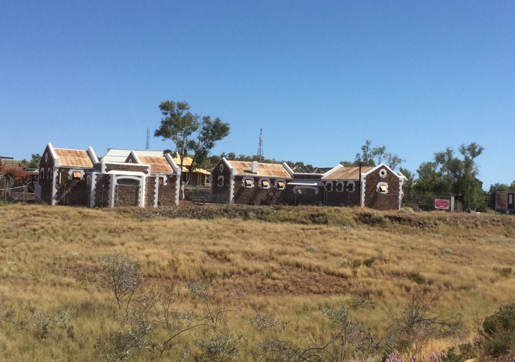
This morning it is about two hours into Karratha, on the way we pass through Roebourne a place with a long history (for this part of the world anyway), and a reputation for its police station, jail and courthouse buildings, unfortunately we had a truck behind us and Pat had to take the pictures on the move!
We did indeed shop at Karratha and had a very nice lunch at Fiorita cafe/bar, which I think claims to be the only wine bar in the North West! We also refuelled with diesel before heading south again but not too far as we had decided to go to 40 Mile Beach for a couple of nights again, we had had a couple of nights here on the way up. There are fewer people around now and we got a a really nice spot.
Once again the decent fish were able to ignore my bait – fortunately we’re not dependent on my hunting skills!
We met a couple from Dunsborough, a place in the southwest of the state, who were also heading home but they were intending to get to Geraldton tomorrow night, that’s 1000ks!!! We hope that they take turns in driving.
Thursday 17th September
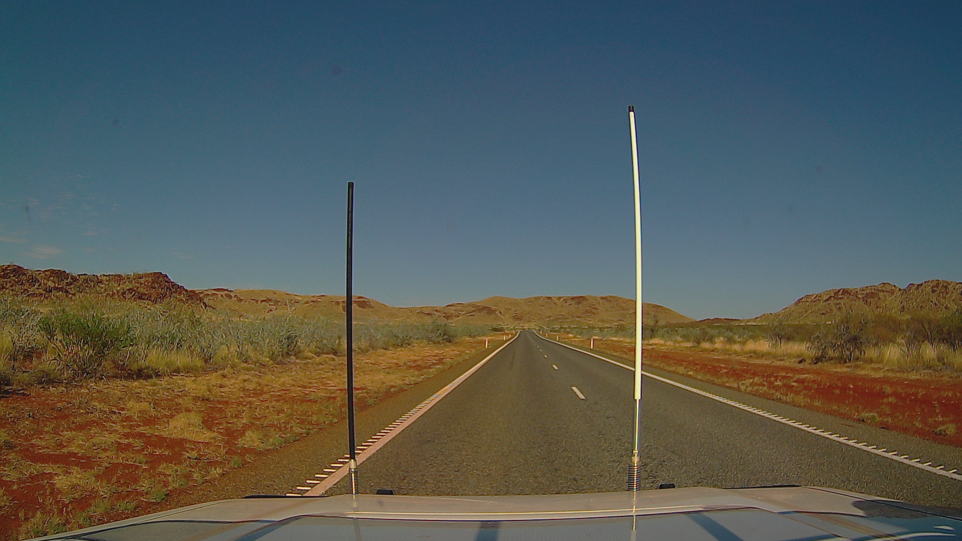
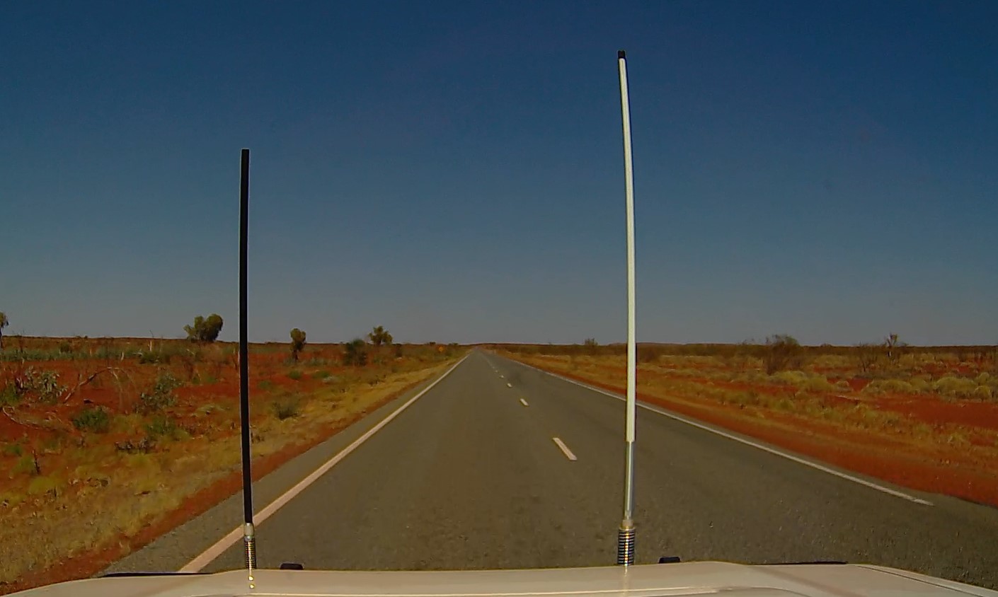
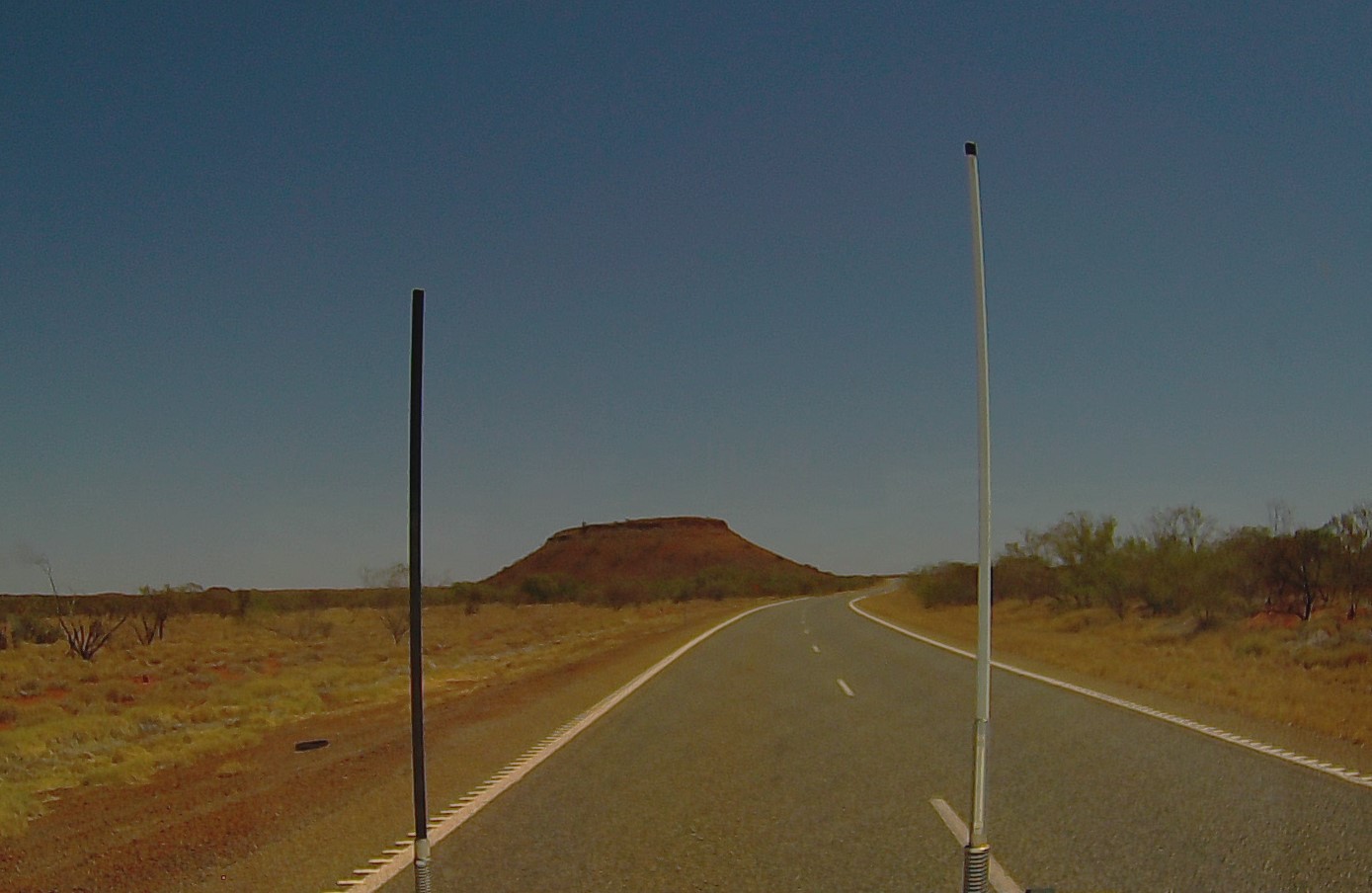
On the road again today we’re going to do about three hours to a overnight stop at Barradale, somewhere else we stopped on the way up. Unfortunately, we are, by definition, retracing our steps, mainly because we’ve had no spring up here and summer is on us meaning it is averaging 40C inland and we’re not particularly keen on that. This means that you’ve seen the photos we took on the way up. Some scenery photos might work as the sun is behind us most of the day which makes for a better photo. So, we’re still in a vast mining area called the Pilbarra, land of iron ore or cattle!
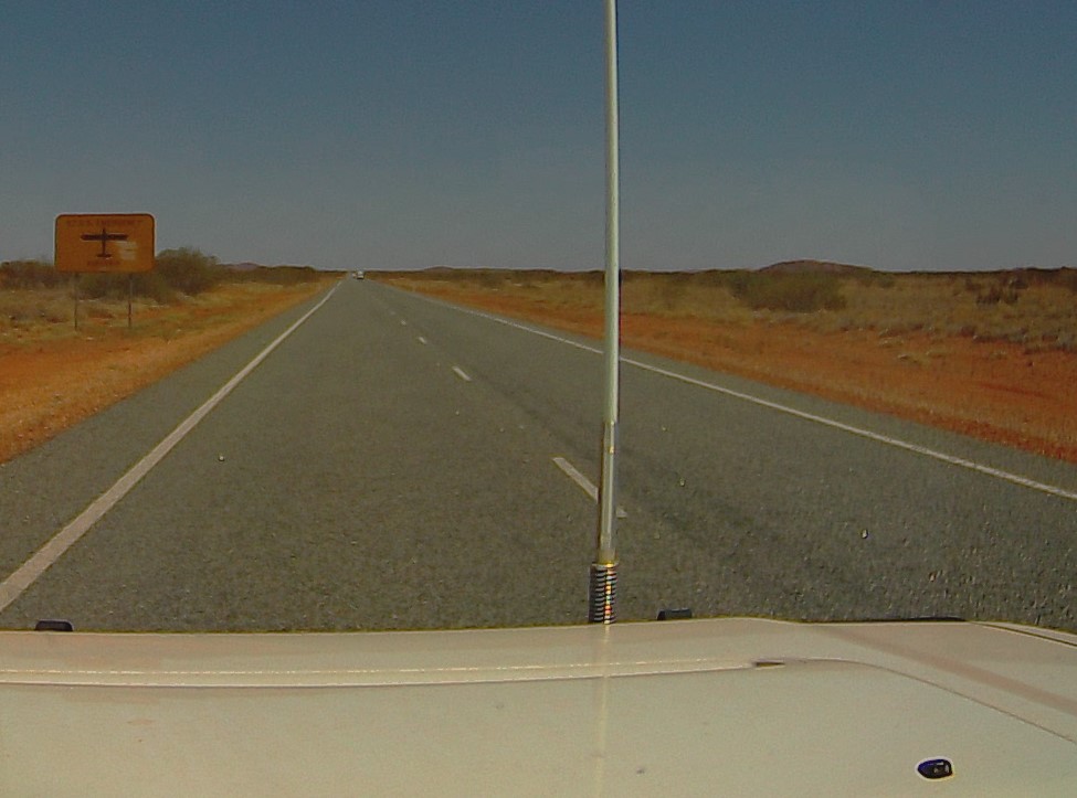
The Royal Flying Doctor Services needs landing strips at convenient places across WA and in many cases the roads are suitable for landing small prop aircraft. So often you will see a sign saying RFDS Emergency Landing Strip, followed by nice straight stretch of road with the edges cleared to allow the plane to turn round. In an emergency the police or locals close the road and if it’s at night shine the car headlights down the road.
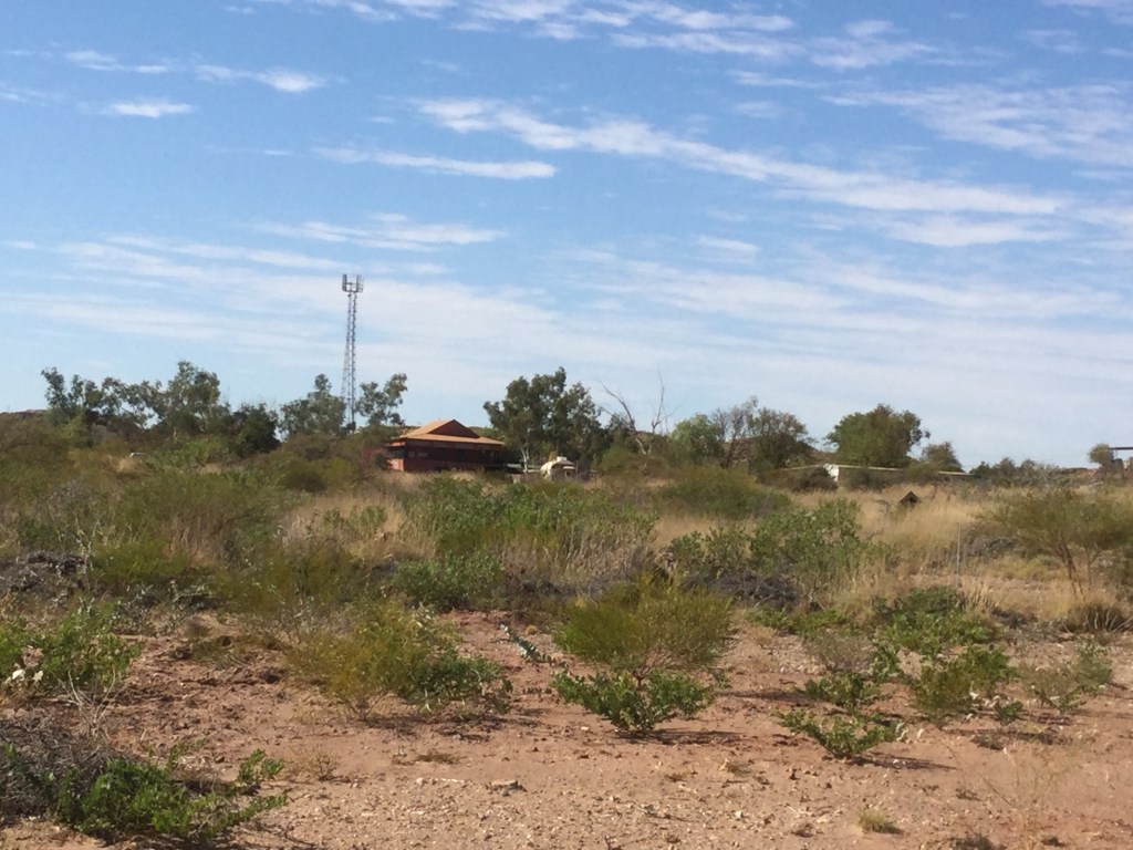
A few ks further on we’re passing a little place called Whim Creek, it has a pub and some fuel but it is mainly famous for being ravaged to some degree by most of the cyclones that hit the North West coast of WA every wet season. The common TV announcement is “cyclone ‘X’ will cross the coast at Whim Creek at ‘time’, etc., etc.” I think that by now the few buildings left have probably been cyclone proofed!
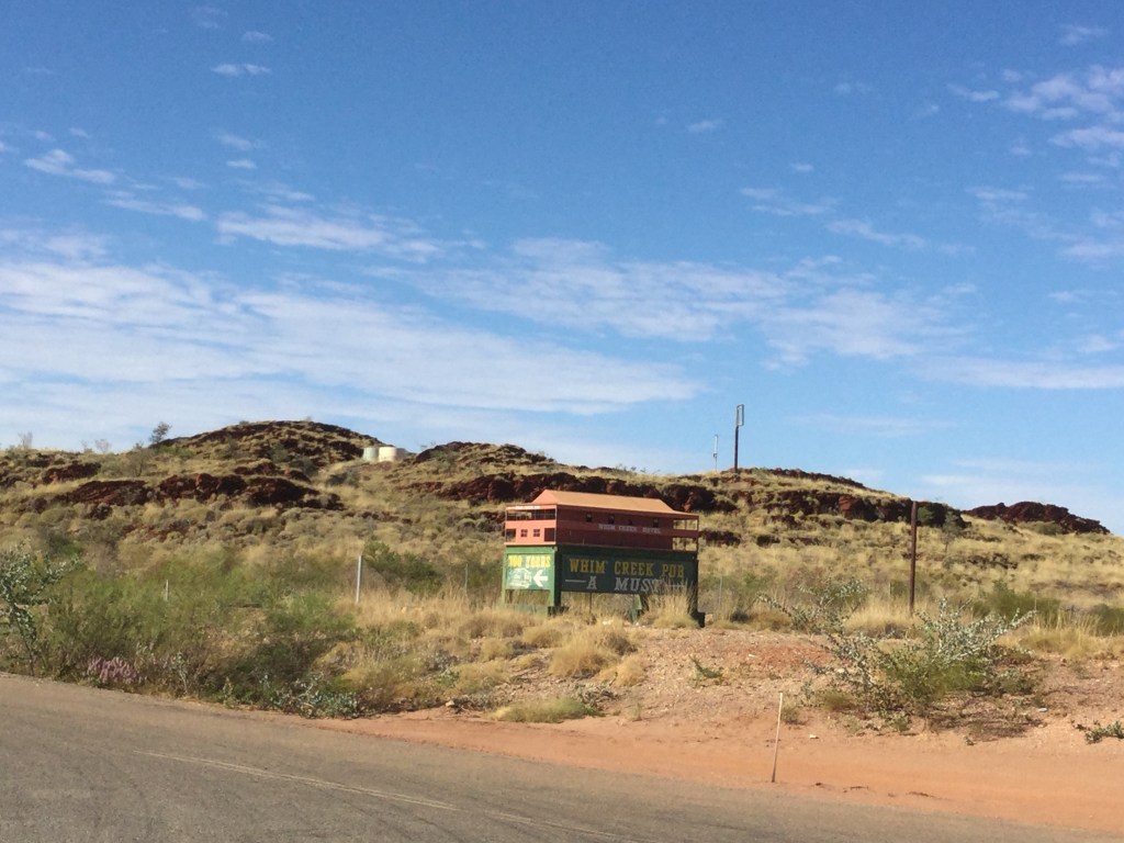
For the occasions when it has been flattened and under rebuild there is a model to remind you what it looked like!
Tonight we’re stopping at Barradale, another spot where we stopped on the way up, we know there’s plenty of space here.
We’re there about 1330, we could go further but we have been driving for four hours so a lazy afternoon is appropriate.
Friday 18th September
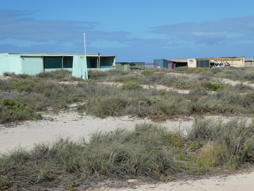
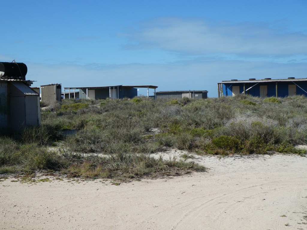
Nice earlyish start this morning, ie about 0900, we have about 300 ks to do today which is a longish day for us. We’re heading for the Blowholes at Quobba, which is part of Quobba Station. This has been a popular spot for fishermen for a very long time and historically they have built (I use the term loosely!) shacks, known as ‘humpies’ from, timber, sheet metal, sometimes sea containers. Some of them have been made almost respectable but the majority do actually make the place look untidy.
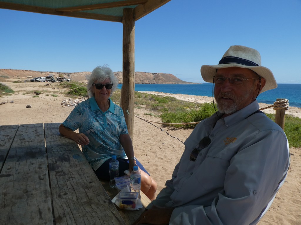
We find ourselves a spot, it is pretty ad hoc camping area and get ourselves sorted out. It’s sunny and the sea over the dunes from the caravan looked so blue and inviting. We sat on the beach watching some dolphins rounding up a shoal of fish. A bit of reading, a bit of blogging and its time for a glass of wine. Satellites are a bit scarce but we are early now as sunset is nearly an hour later than when we set out.
Saturday 19th Septemeber
Last night the wind got up really strong and gusty and Roger had to get up at midnight and put the awning down.
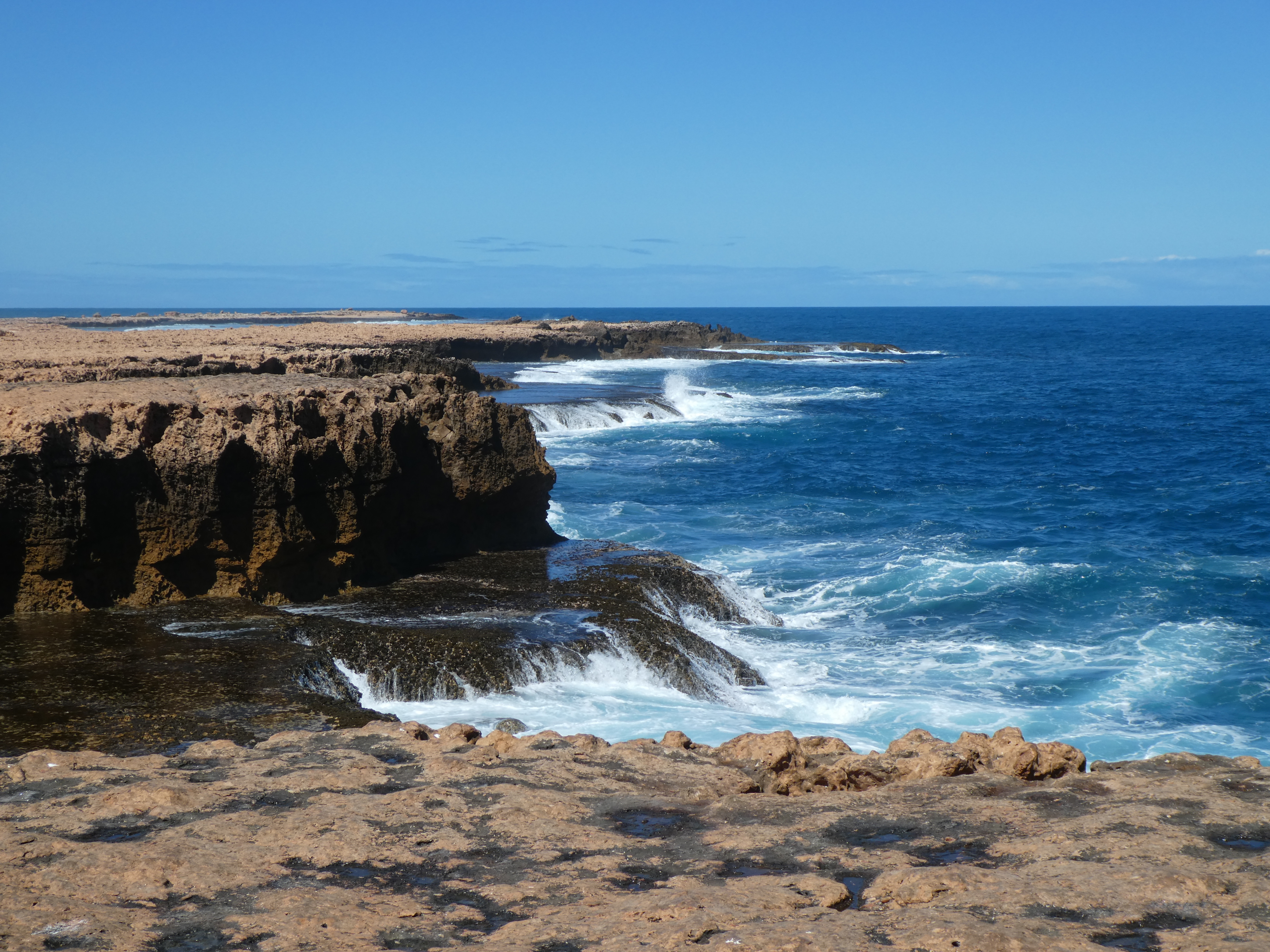
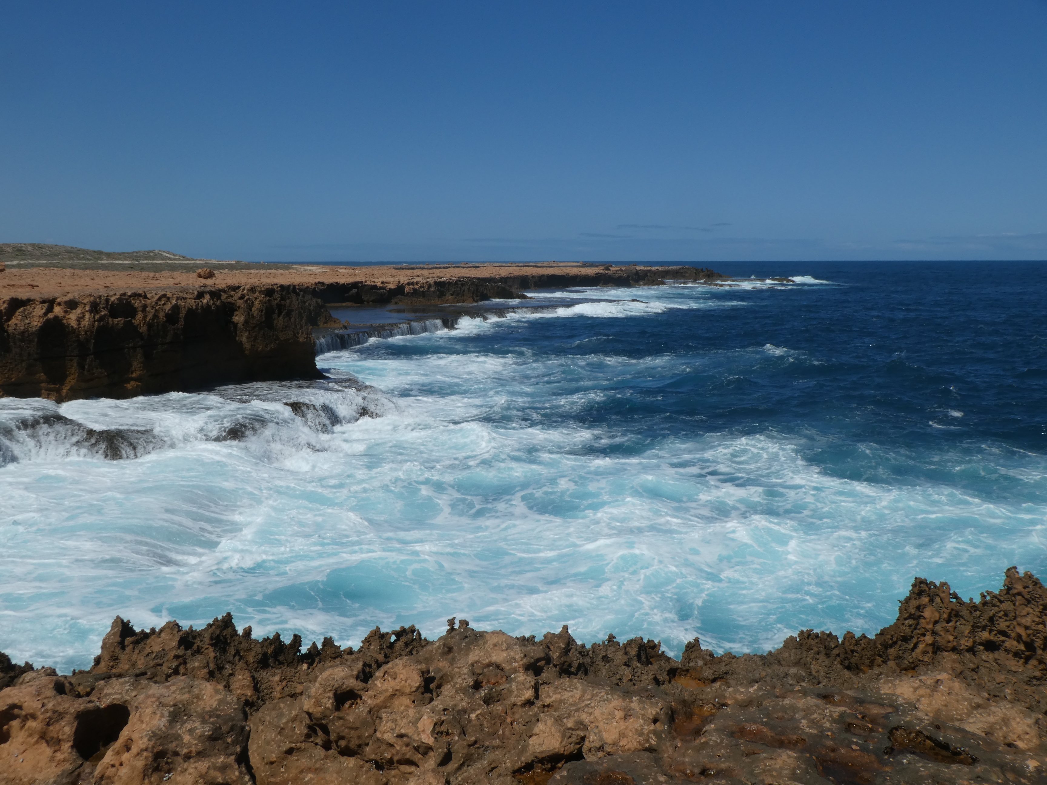
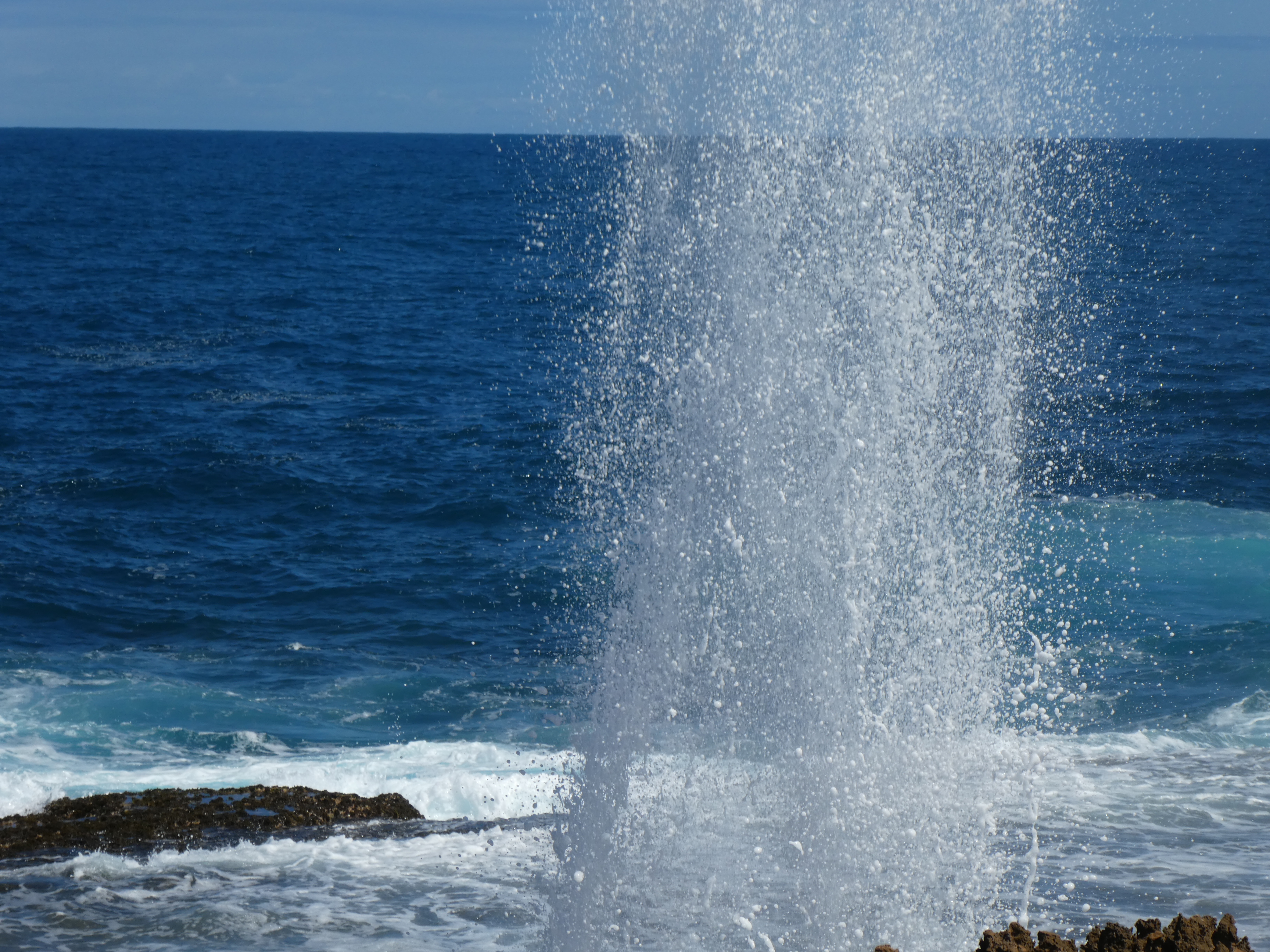
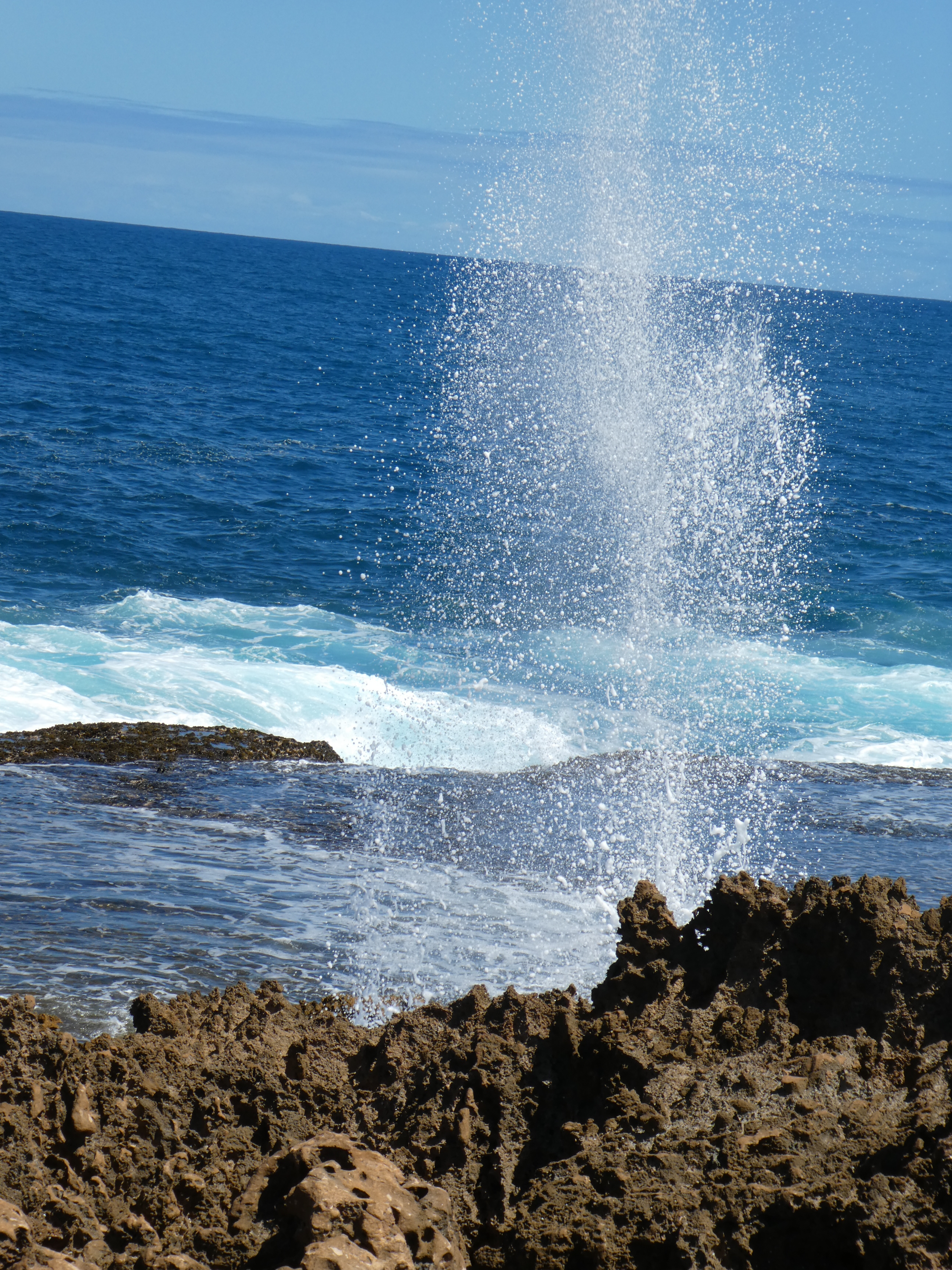
Today it’s still windy but we’re going to take a run up the coast to Red Bluff. We’ve been up there before but it was nearly a decade ago. We start by looking at the Blowholes, essentially these relate to the effect of waves hitting the rocks at a certain angle and sending water columns up into the air.
A few ks up the coast is a memorial to the sailors who lost their lives on HMAS Sydney which was sunk in 1941 in a skirmish with a German warship, the Kormoran.
The next point of interest is Quobba station itself, they are supposed to run sheep on this property but we haven’t seen any – yet! We could bring the van up here if we wish as there is a fairly large campsite but according to the ‘blurb’, “unless you are a fisherman there is not very much to do here” !
So far we have travelled about 20 ks up the coast and a little further on we come to a track which is called Korean Star Road. This should take us to the site of the wreck of the aforementioned ship, which was stranded on the rocks in 1988 but, due to the weather, a rescue could not be effected by sea or air. Ultimately, some Carnarvon men set up a Breechers Buoy and rescued them all.
Perhaps because it was high tide or maybe the wreck has finally been destroyed but we could see no sign of it.
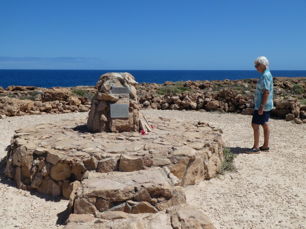
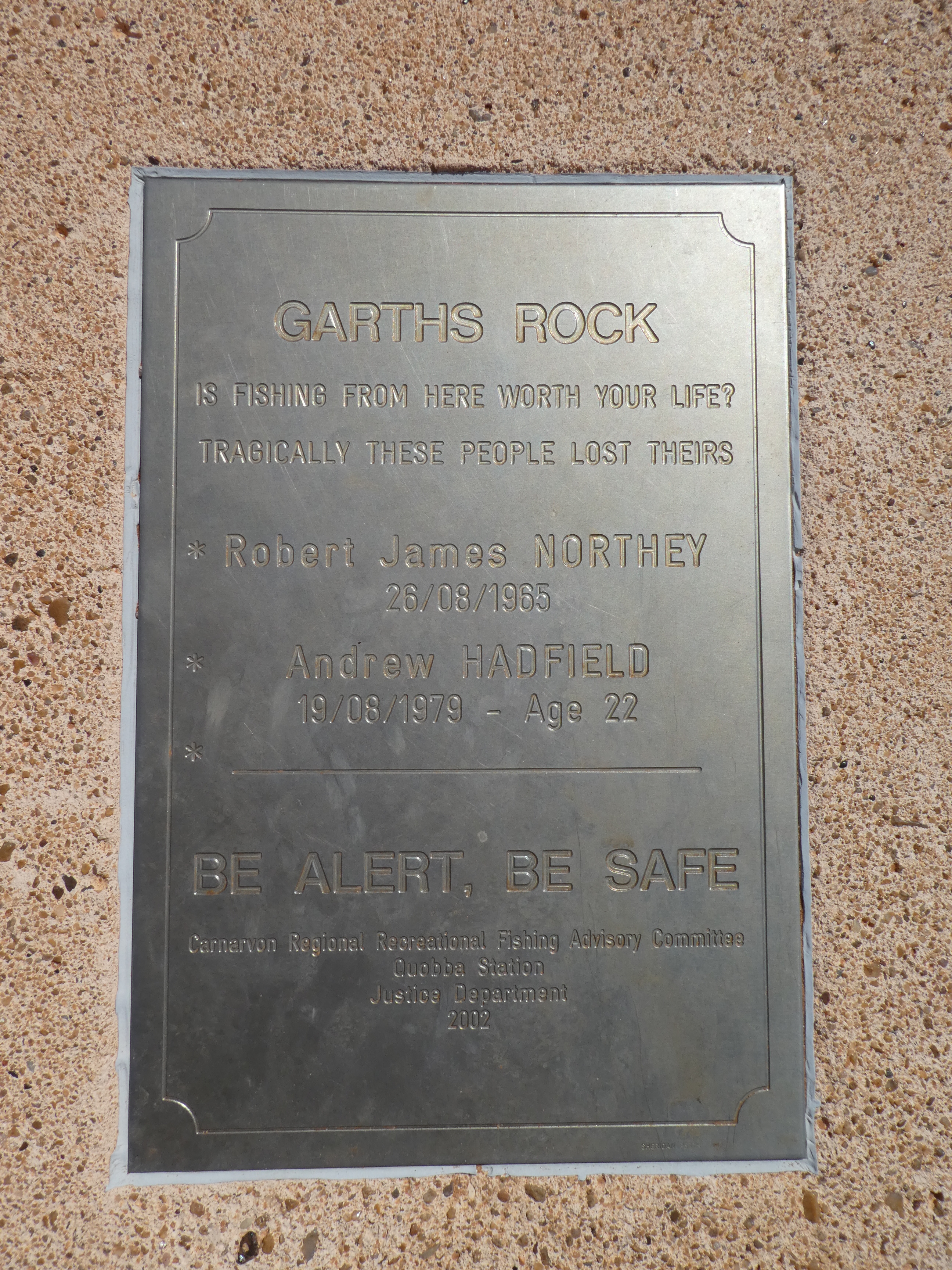
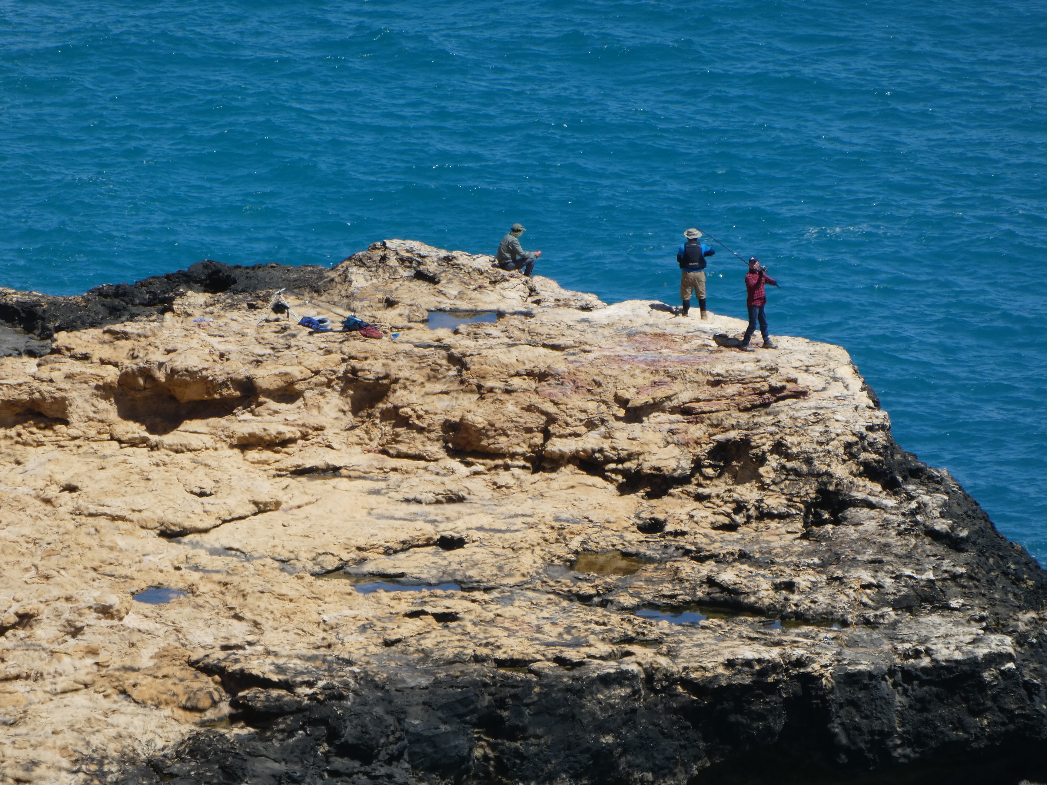
What is also there is a plaque to the memory of two fishermen who were washed off the rocks and were drowned. Obviously their deaths were in vain! We could not see how on earth they got down there, their car was up where we’re standing! The rock outcrop they are standing on is put in perspective(literally!) by the bottom left picture!
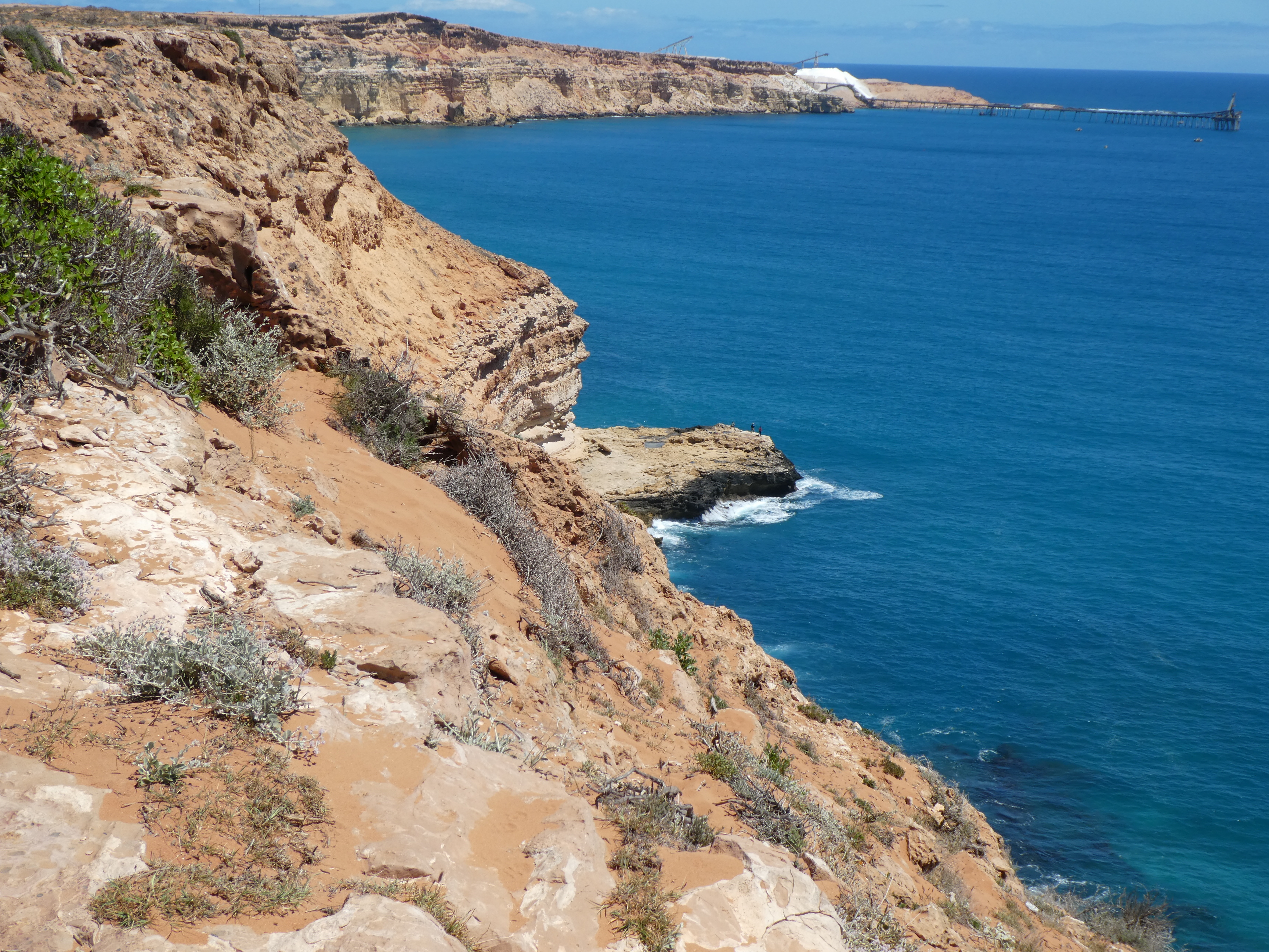
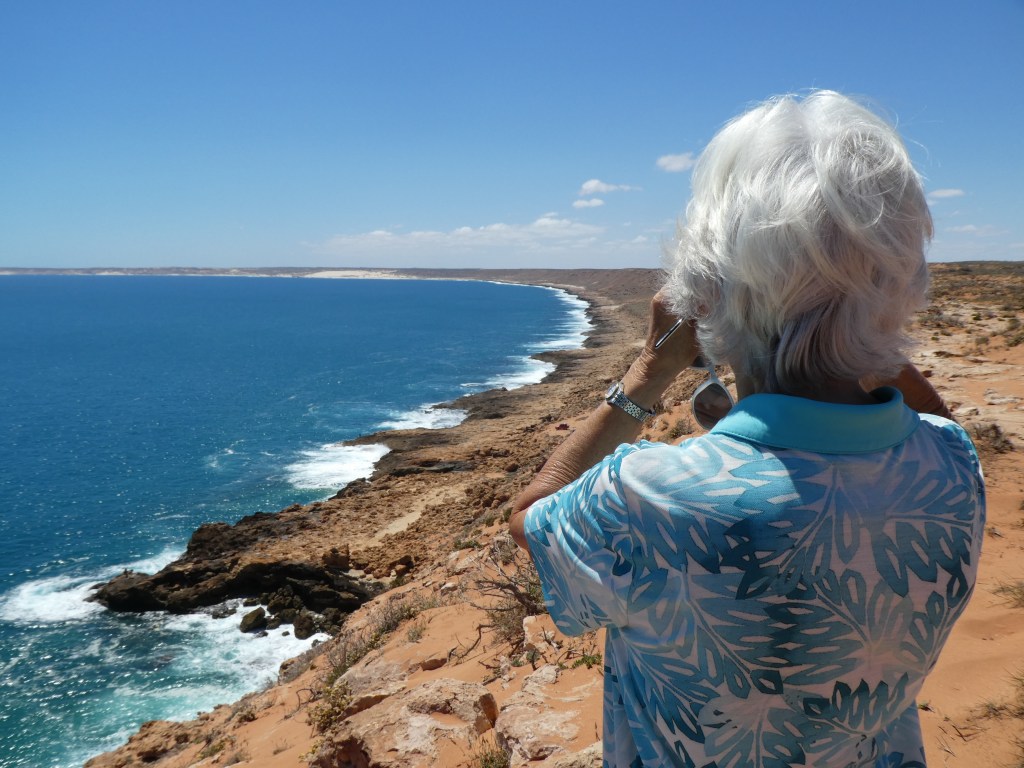
The coastline is quite spectacular looking north from this point.
Another 15 ks and we’re arriving at Red Bluff, we were here about ten years ago and it is probably still a bit of a hippy place, although it has got a bit more sophisticated with ‘glamping’ and rather nice little picnic shelters along the cliff top.
You have to want to come to Red Bluff, it is a very pretty spot and we could easily get the BT up here but it’s 60+ks of dirt and there is little to do except fish and given my fishing prowess it’s probably not worth the effort!
Anyway, we set off back to Quobba and on the way back we did see some sheep. At first we did not recognise them as sheep, they looked more like alpacas. However, it turns out that this station changed from the wool growing Merino sheep to Damara sheep that are grown for their meat in 1977.
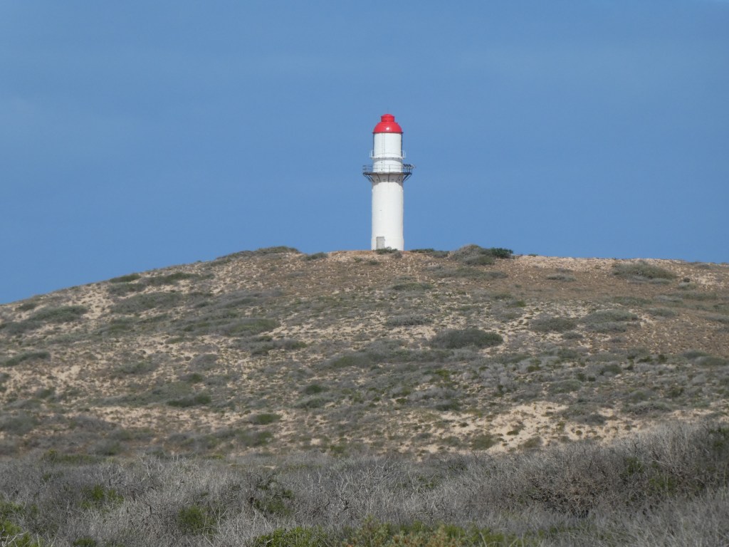
The lighthouse, which for the marine navigators amongst you is Group Flashing 4 every 6 Secs! was just at the back of where we were camping.
We explored the track along the coast where the caravan sites were a bit more on our return and stopped to chat to some other BT owners from Bunbury, when it RAINED, quite hard, off the sea with a strong southerly wind behind it. It cut short the conversation and when we got back to our caravan we had to pack away a fair amount of things in case they blew away or got soaked.
So tonight was the first night we did not have drinks outside and spot satellites, since we left home! It was too cold, wet and windy We’re leaving tomorrow!!
This is our route to date, back from Cape Leveque to Quobba.