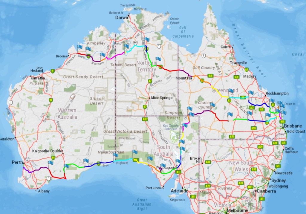
I realised that I hadn’t put a map of our progress in the last post, so here’s an update and as you can see we’re well into WA now.
Sunday 23rd July
Had to leave some time so decided on Sunday to move on. This means back onto the Barkly Hwy, not one of our favourites, sealed but we’ve been on better dirt! We have to refuel at the Barkly Roadhouse, we stopped here a couple of years ago but in the last two years has suffered serious storm damage due to large trees falling onto cars and other structures, being caught in the floods across the Kimberly and significant damage caused by a fire, so it is virtually brand new, the fuel prices reflect the outlay!! Lunch is taken at a spot on a lake called Frewina, it would make a good place to stop for a while but the wind is very strong and quite cold, also this area is still very wet.
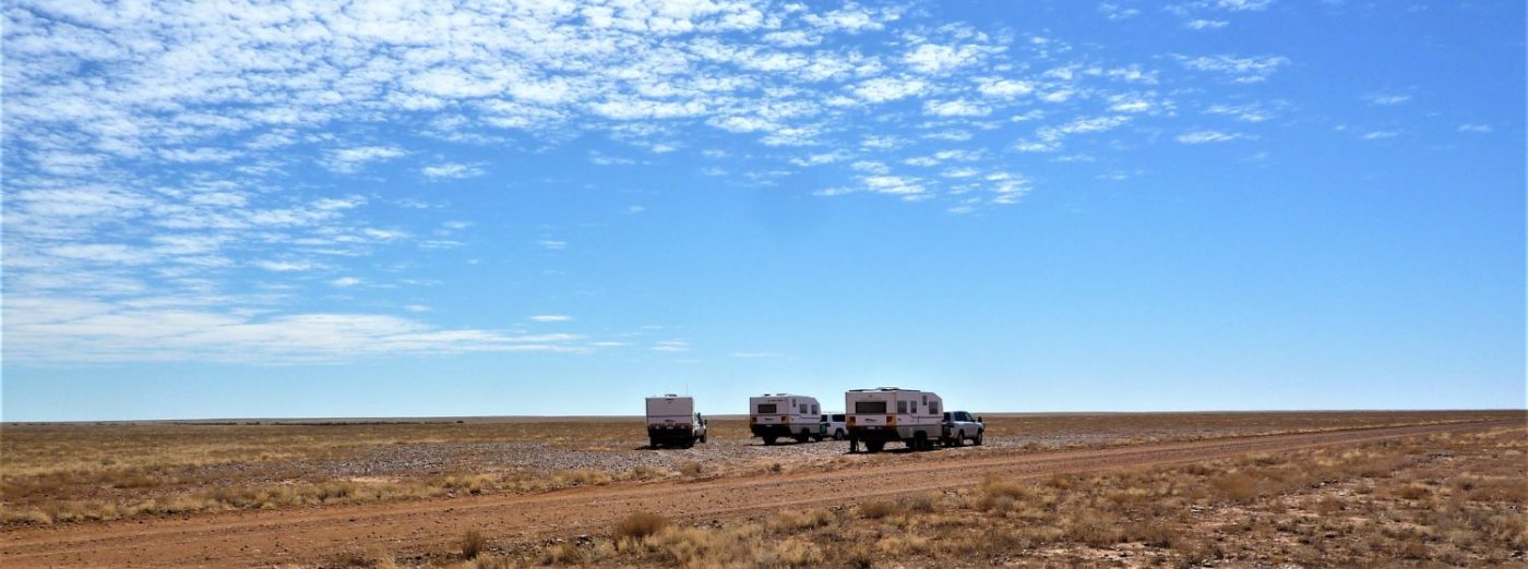
The day’s travelling is uneventful and we decide on 41 Bore for our night stop. Got a good spot with surprisingly very little road noise.
Monday 24th July
Today we get out onto the Stuart Hwy, the main (and only) north / south highway through Central Australia. It is in pretty good condition in spite of the amount heavy of traffic on it. We’ve been up and down here several times but somehow it always manages to look different. We have to refuel at the roadhouse at Elliott and then at Dumarra we’re turning off onto the Buchanan Hwy, a dirt road that takes us through to Top Springs. The road is not very good and we think it might take us a long while to get to Halls Creek. Tonight we find a gravel pit at 20ks called Turkey Bush Camp, which we have to ourselves, making for a quiet night. No other traffic!
Tuesday 25th July
Roger has to let the tyres down this morning but we get a reasonably early start. In fact the road turns out only to be bad in places with long sections of quite good road.The road is pretty reasonable through to Top Springs, which is literally 3 fuel pumps and a pub! We do learn that there is fuel at Kalkaringi, which is a relief as we may have had to reconsider our route if they didn’t have any. We also chatted to a truckie who was complaining about the strong headwinds when he took his truck, 3 trailers loaded with live cattle , down to Port Augusta SA. He was getting 70 litres per 100 ks! We think it’s bad if the Landcruiser is doing 20 litres per 100ks. We have no reason to tarry and head off towards Kalkaringi, now on the Buntine Hwy, which is, in fact, sealed – frankly the dirt was better!
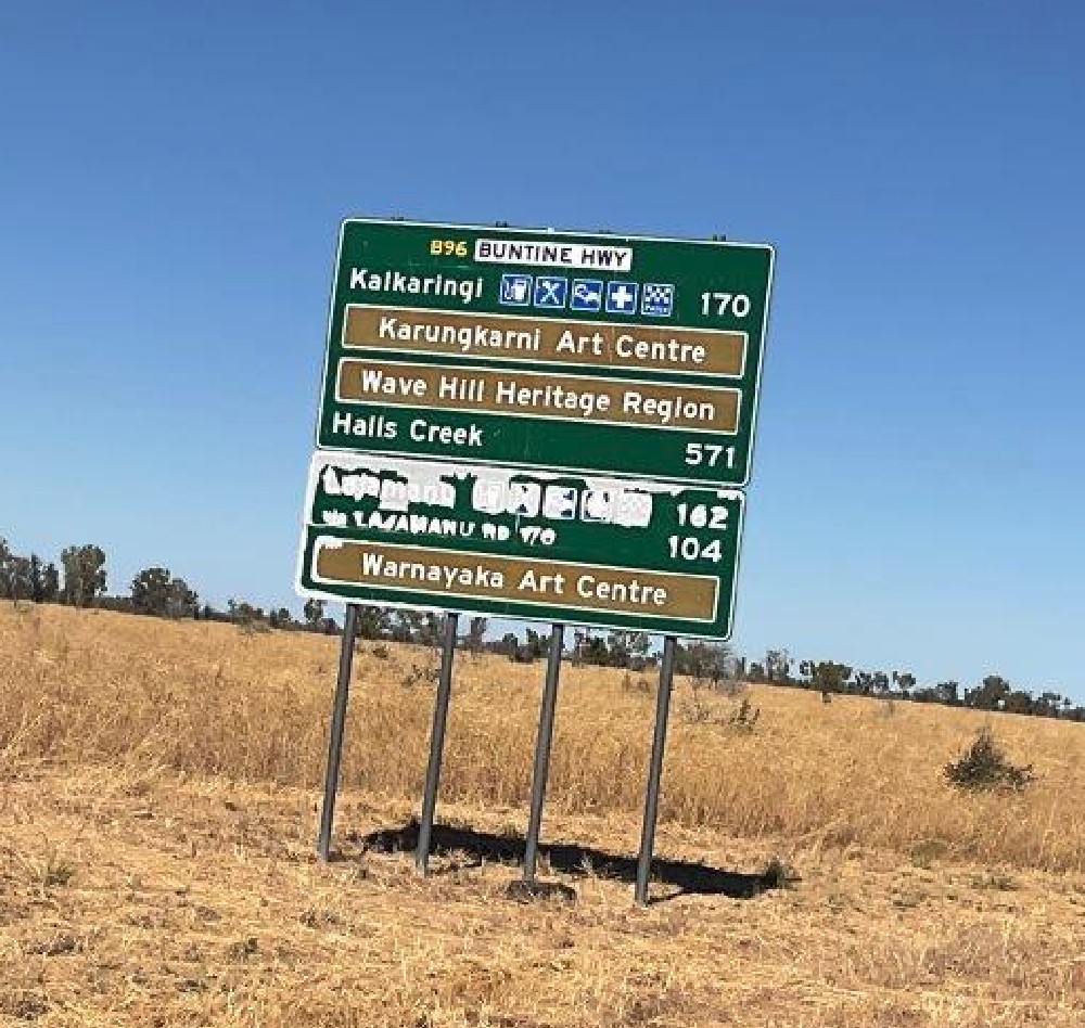
We make pretty good time and refuel at Kalkaringi, which has a store which caters for the aboriginals from the surrounding communities. The fuel is paid for by card at the machine outside the shop. Now back on the dirt again and a reasonably good surface. About 80 ks out of Kalkaringi we come across some roadworks. It looks as though a brand new concrete causeway has been washed away by the recent rain and flooding.
If you look at the video, on the right hand side you can see the concrete slab sliding into the creek bed! This is a big job, particularly when you consider that the nearest town of any substance is 400 ks away at Halls Creek, a huge logistics exercise!
There are no night stop options marked on the maps for this area so we will have to keep a look out for somewhere suitable. After about an hour we spot a track going off to the right which looks like it might have a gravel pit at the end of it and sure enough we discover a really good spot for the night, we call it ‘Our Gravel Pit’ as we found it ourselves!
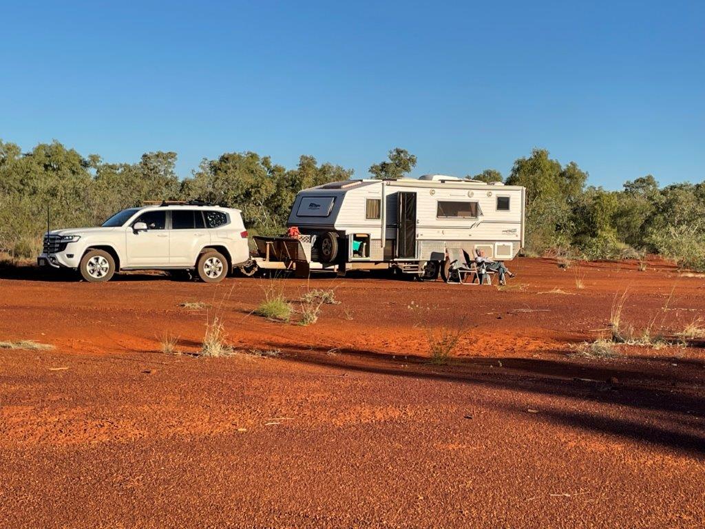
You may be wondering why gravel pits. Well, they are where the road crews have stored their roadmaking materials. So, in the first instance they are usually easily accessible, secondly they are invariably level and have gravel which means we don’t have to mess around with levelling the caravan (to stop the tomato sauce running off the plate or, letting the blood go to your feet when sleeping!) and if it rains overnight we won’t get bogged in the red dust whentrying to move on.
Wednesday 26th July
This is a bit of a long working day because when we cross the border into WA we get an extra 1.5 hours on the day due to the zone change!
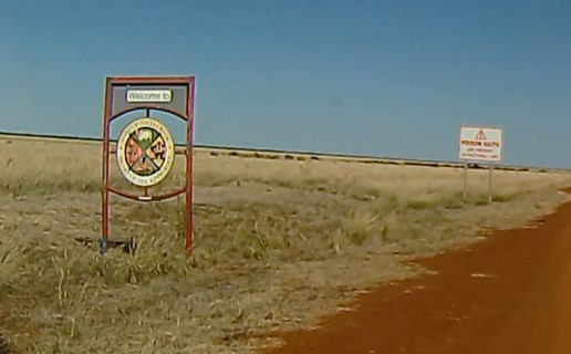
We don’t even get ‘Welcome to WA’, just welcome to the Shire of Halls Creek! No border control here. A couple of blokes tried to sneek into WA by this route during Covid and ended up in court with a hefty fine to pay.
The dirt road to within about 40ks of Halls Creek is pretty good,and the scenery changes regularly. However, the last 40ks are a pain, the scenery is beautiful through the Albert Edward Ranges but it is up and down and twisting, plus a few wet bits, which makes it a very busy section with the BT on the back.
We need to shop and refuel in HC but it’s not a place to hang around in, so we’re in and out as quickly as possible.
Tonight we’re making for Mary’s Pool a place we’ve stopped at before and which is close enough to give us time to stop and have a quiet read, etc, before the sun goes down.
Thursday 27th July
Today is a really leisurely drive on almost good roads (back in WA see!) The scenery is spectacular, unfortunately the dash cam doesn’t do it justice but stopping for photographs regularly is not an option really.
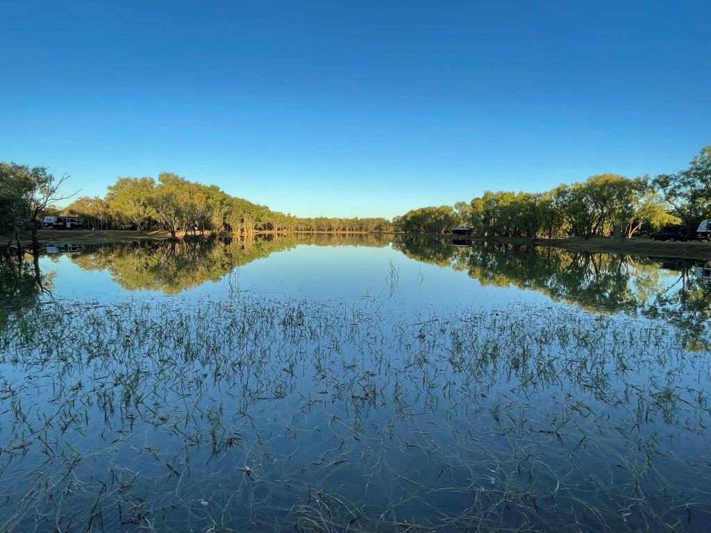
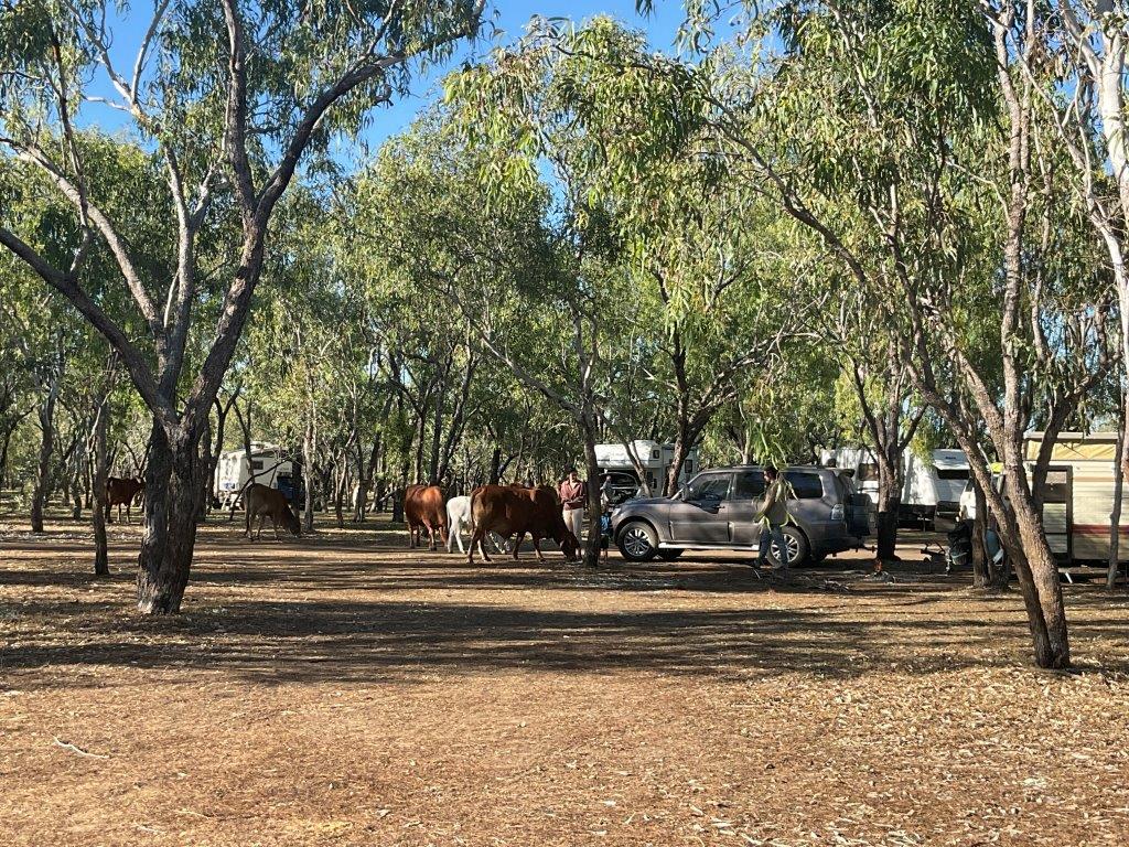
Ellendale Pool is our destination for tonight, we have been here before but there’s more water than we’ve seen previously. One bloke says he’s got a photograph of a freshwater croc in the pool but it is highly unlikely considering the situation and non-proximity to any known freshie habitats!
The cows here are apparently very friendly and we have watched the kids patting their noses (cows noses that it!) The last time we were here we met one called Millie.
Saturday 29th July
Today we’re heading for another of our favourite spots, it’s on the banks of the Fitzroy River.
We’re travelling on the Great Northern Hwy which is the only sealed road out of northern WA. The other is the Eyre Hwy across the southern part of the State.
This whole area was cut-off from the rest of WA by flooding caused by ex tropical cyclone Ellie in December / January. The flooding swept the Fitzroy Crossing Bridge away and seriously damaged the Willare bridges also. The work at Fitzroy Crossing has been aimed at providing a desperately needed river crossing, which has been satisfied by building a temporary causeway that can handle the 56m long road trains that provide the lifeline for this very large area of the Kimberly.
Continuing to Willare, we pass the junction to the road to Derby where we went in our 50th wedding anniversary year, We need to refuel in Willare and note all the water damage, particularly on the bridges out of Willare towards Broome.
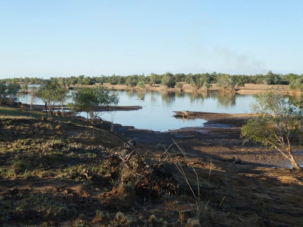
About 10ks past the last bridge we turn off onto what we know is a terrible dirt road but it gets to some magic camping spots on the Fitzroy River.
We would like to stay here a bit longer but we have to try and get a couple of things fixed in Broome so it’ll just be a couple of nights.
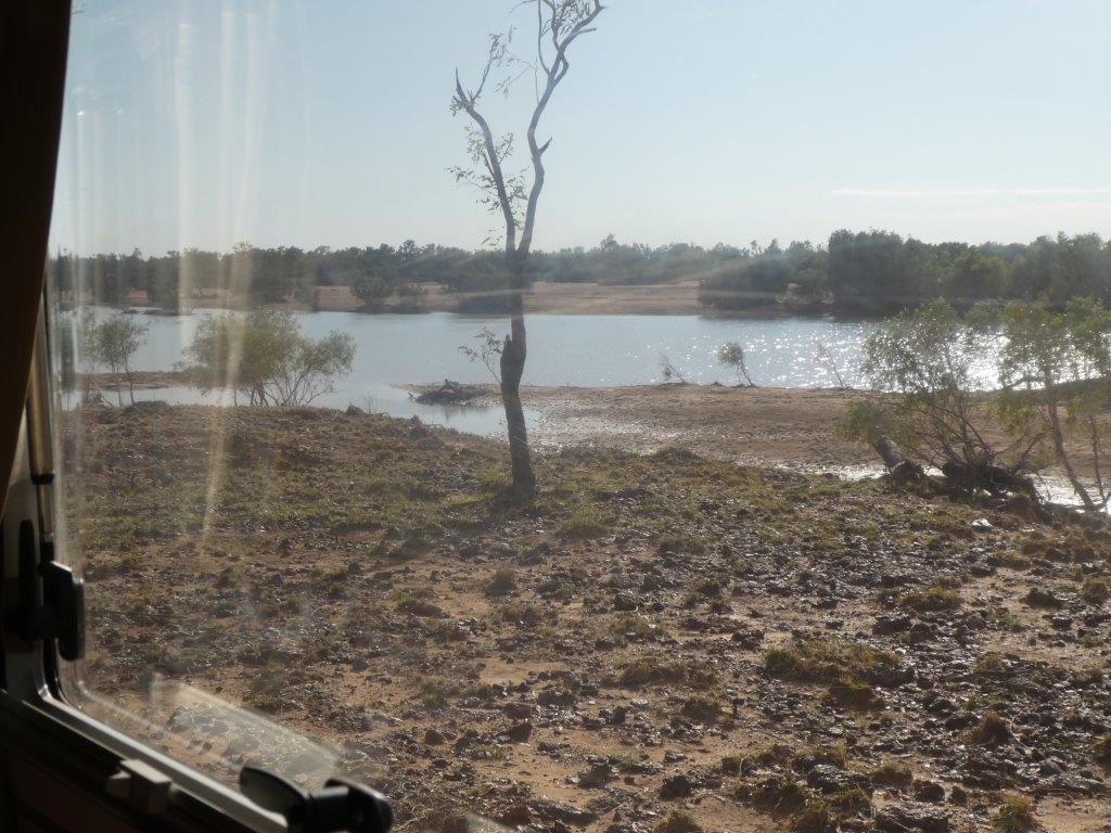
This is the view from the kitchen window.
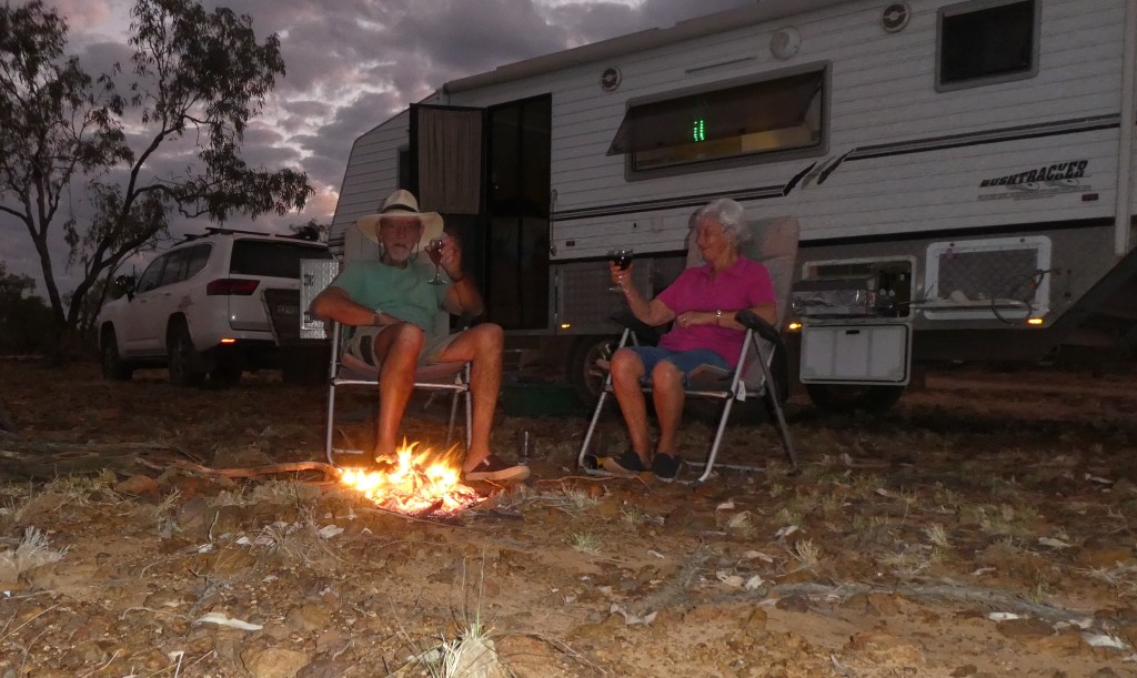
This is where we’re camped this time, we have several other spots here but this one will do for a short stay.
Pleasant to sit and watch the birds and the wildlife.
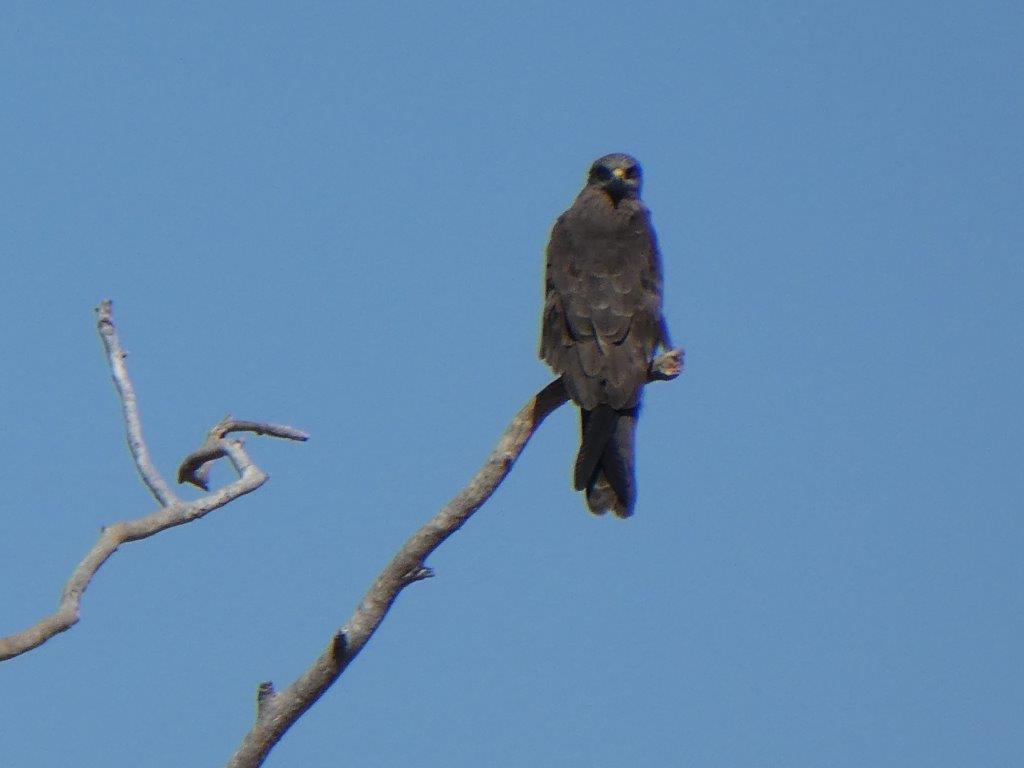
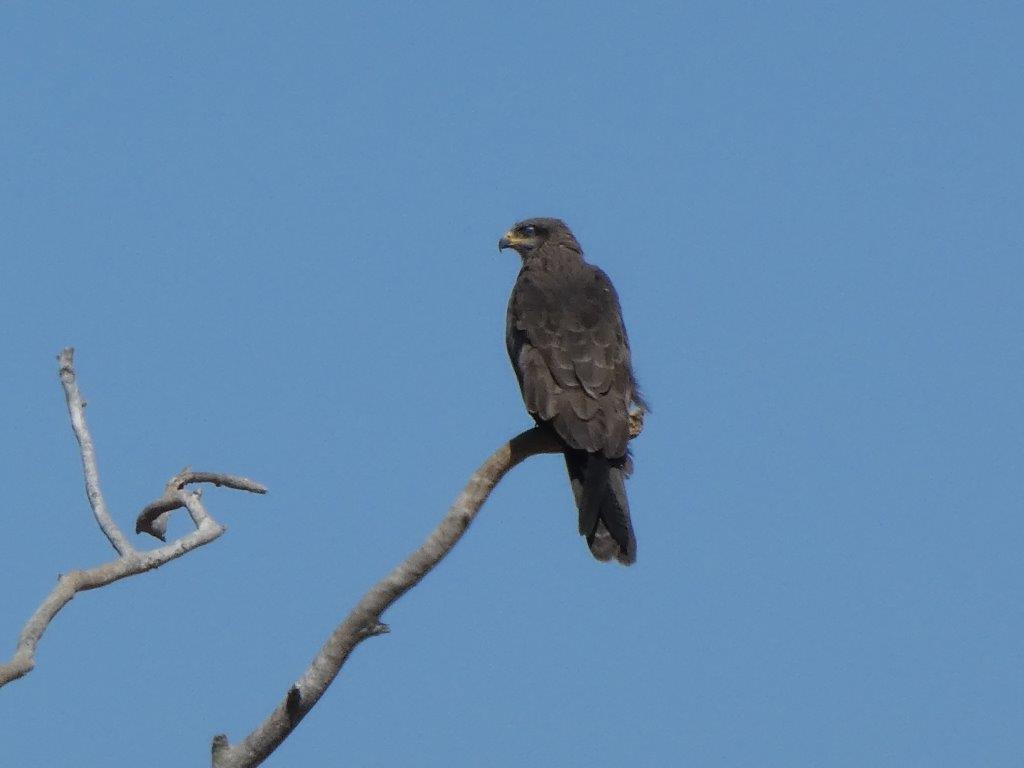
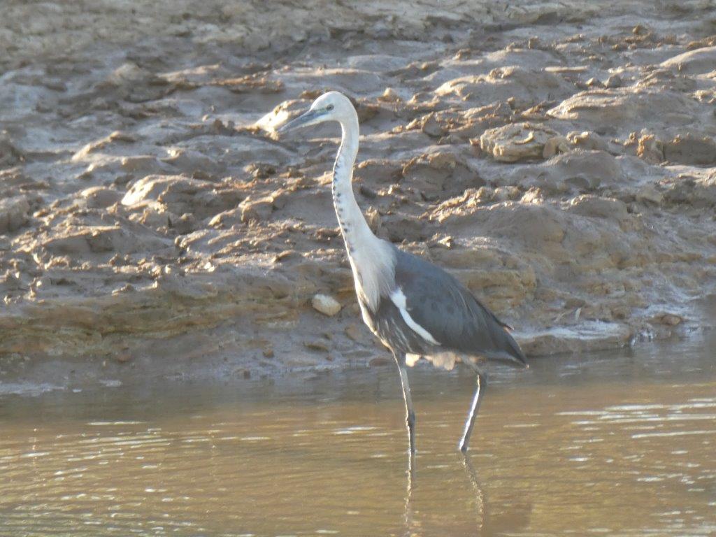
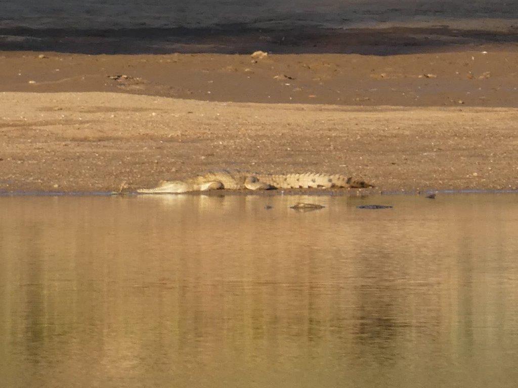
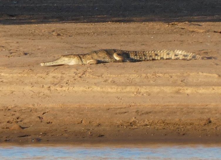
The Fitzroy is full of saltwater crocs though you rarely see them but the freshies are always out sunning themselves in the afternoon.
Way to go, eh!
